Hemel Hempstead weather: Here’s when to expect sleet, snow and heavy rain this week

and live on Freeview channel 276
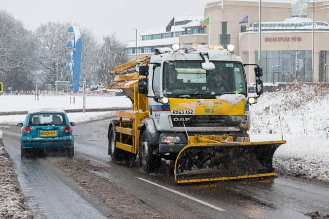
While the area is not subject to the same weather warnings for rain and snow that more northern parts of the country are, the Met Office is still predicting residents could see some of the white stuff in Hemel Hempstead as we near the end of February.
What’s the forecast for the week?
Heavy rain is predicted for today (Mon 24 Feb), with conditions changing to cloudy by early evening, plus temperature highs of 11C, and lows of 3C.

Advertisement
Hide AdAdvertisement
Hide AdTuesday (25 Feb) begins cloudy, but brightens up by late morning with sunny intervals expected - highs of 7C and lows of 1C.
It’s much the same story on Wednesday (26 Feb), starting cloudy but changing to sunny intervals by the afternoon with highs of 6C and lows of 1C.
But Thursday (27 Feb) is the day that Hemel is expected to see a covering of the white stuff, if only a light one.
Like the previous two days, the morning will begin cloudy, but by late morning we could see some light snow showers. Temperatures are expected to peak at 6C, with lows of one.
Advertisement
Hide AdAdvertisement
Hide AdFriday (28 Feb) is much the same, only instead of snow it's likely we’ll see plain old rain.
What's the longterm forecast?
As we head into March, temperatures start to rise with spring around the corner, but the weather may not be any more settled.
“To start the period [beginning 28 March], unsettled and often windy conditions will continue with areas of rain moving east across the UK, interspersed with brighter, showery interludes,” says the Met Office in its long range forecast for the East of England.
“Rain is likely to be heaviest across western areas, with wintry showers in the north. The south will see the best of any more prolonged drier interludes.
Advertisement
Hide AdAdvertisement
Hide Ad“Continuing through the period, there is an increased chance of deep low pressure systems affecting somewhere in the UK, causing large amounts of rainfall and very strong winds.
“Temperatures are likely to frequently oscillate between rather cold and rather mild. During any colder interludes, there is likely to be some snow on the high ground of the north. The weather may become more settled in the southeast at the very end of this period, though remaining unsettled elsewhere.”
How to stay safe in winter weather
While the Met Office's forecast doesn’t predict too much snow, roads can become much more dangerous with just a thin layer of snow and ice.
Avoiding driving if possible is often the best advice in such conditions but for many people that’s not an option.
Advertisement
Hide AdAdvertisement
Hide AdIf you do have to drive, it’s worth remembering these simple tips:
Stopping distances are up to 10 times greater in snow and ice so leave a bigger gap to the car in front
Drive smoothly. Harsh acceleration, braking and steering makes you more likely to lose grip and skip
Keep your speed down. This will give you more time to react to any problems
Be observant. Look ahead for hazards such as puddles or patches of ice and be prepared to adjust your driving